/ Mondo / Norvegia / Buskerud / Nore og Uvdal kommune / Uvdal
EnglishNorskDeutchItalianoFrançaise

Utsiktsrunde

Uvdal, Nore og Uvdal kommune, Buskerud, Norvegia
15.7km|316m ◢ ◣ 723m|28.09.2019

Descrizione

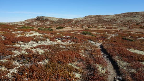
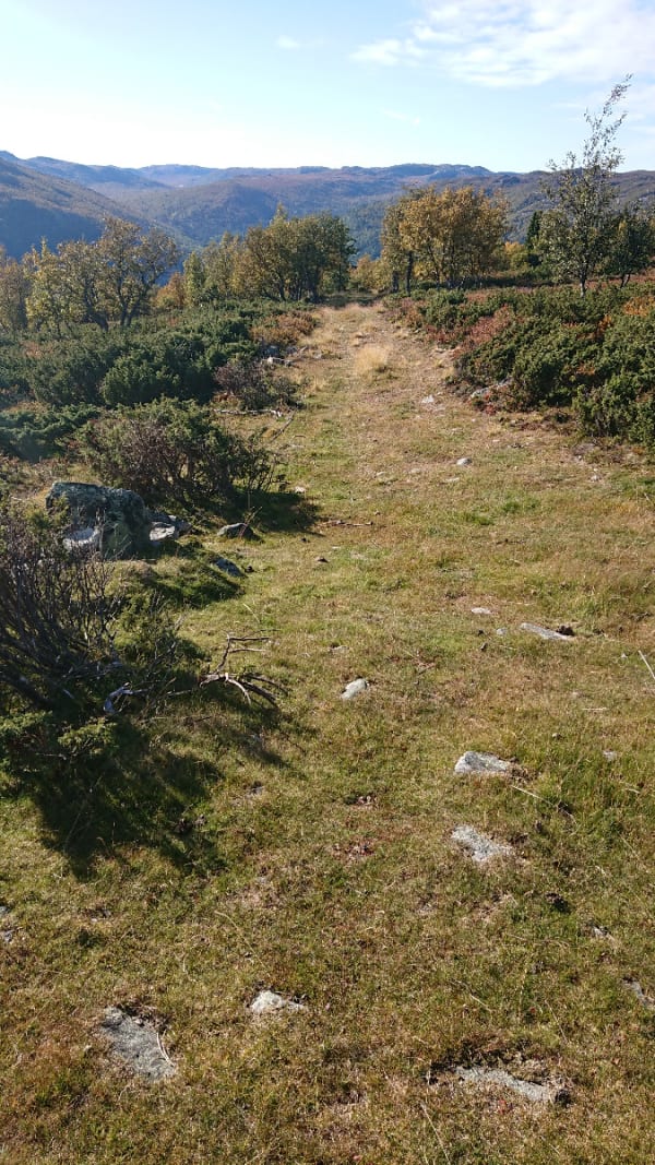
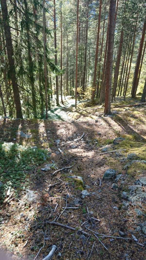
Il tour da Vasstulan e giù a Udval, inizia a Vasstulan e prosegue su un sentiero segnato in rosso. Un bel sentiero scorrevole con tratti occasionalmente un po' tecnici. Vista molto bella, con Gaustad toppen a sud, Hardanger gjøkulen a ovest, Hallingskarvet, Skarvheimen e Reineskarvet in direzione nord. Hemsedalsfjella nel nord-est Parte divertente fino alla strada del trattore che è erbosa. Il percorso segue un'altra strada trattrice, fino alla RV 40. Poco dopo aver affrontato la valle, il sentiero si divide in due, si tiene la sinistra dove si entra in un sentiero con piccoli tronchi. Rimani sul sentiero e salta la deviazione a Sotto la strada, sarà più impegnativo e anche divertente! Puoi pedalare fino a Bjerkeflåta tramite la Rv40 o la strada laterale ovest che è una strada sterrata (consigliata) Mostra considerazione per gli escursionisti e le pecore! Si noti che c'è una recinzione sopra la strada del trattore (vedi foto)

Come trovare il sentiero

Ci sono diverse opzioni, puoi parcheggiare a Bjørkjeflåta vicino al negozio, prendere l'autobus fino a Vasstulan, Alt 2: puoi parcheggiare un'auto a vasstulan e una nella valle, ad esempio a Bjørkjeflåta.

hallingskarvet og skarvheimen til høyre
Foto: Lars Hallingstad
stien ned mot Rv 40
Foto: Lars Hallingstad
Gjerde kommer fort brått på om man kjører på nedover...
Foto: Lars Hallingstad
Kjerreveien nedover
Foto: Lars Hallingstad
Stien nedenffor rv40
Foto: Lars Hallingstad

Ultime Recensioni

2/5
Albrecht Nestle valutato Utsiktsrunde ok. The view was indeed overwhelming, almost throughout the entire tour. The uphill was quite tricky at few sections: lots of rocks which need good balance and pedaling Power. But the downhill was really strange in the beginning. We’ve been searching the track down from the highest point for 20 min - but there was non. I checked all online maps I found. Nothing. No signs, no path...only one single lonely tire track through the open landscape where the track should be. So obviously, someone else must have tried this the same day or few days earlier. So we followed this line and after maybe 600-800 m, we found finally a narrow path which was leading to the tractor road. The last downhill was fun again. So either there never was a path - or it didn’t exist anymore?1.aug.2020

Ultimi rapporti

Albrecht Nestle riportato le condizioni a Utsiktsrunde come bene. Mostly dry, some wet sections1.aug.2020